Books
From Cape to Cape
Buy the Book 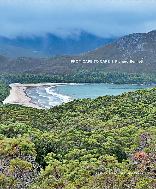
Tasmania’s South Coast Track is somewhat of an annual pilgrimage for Richard. The 85-kilometre, six to ten-day bushwalk has all the elements of the South West Wilderness that Richard has spent a lifetime exploring.
Captivated by the rugged beauty of this vast World Heritage area at just 17 years of age, Richard has now spent 60 years climbing its peaks, crossing its rivers and photographing its many moods.
And while some of the South West’s more challenging alpine walks are no longer alluring to Richard (in his 70s), the South Coast Track just keeps luring him back. Why? Richard says that being in the wilderness enables him to re-evaluate his priorities and review his endeavours more objectively – giving him clarity and highlighting the things that matter. His annual South Coast Track is a reset. And when it’s time to get out there, Richard says, “I can feel a bushwalk coming on.”
The South West is a challenging environment. Amongst Richard’s childhood mates, there was a saying:
Most of the tracks have improved substantially since their early days of bushwalking, but the wildness and unpredictability of the weather remain.
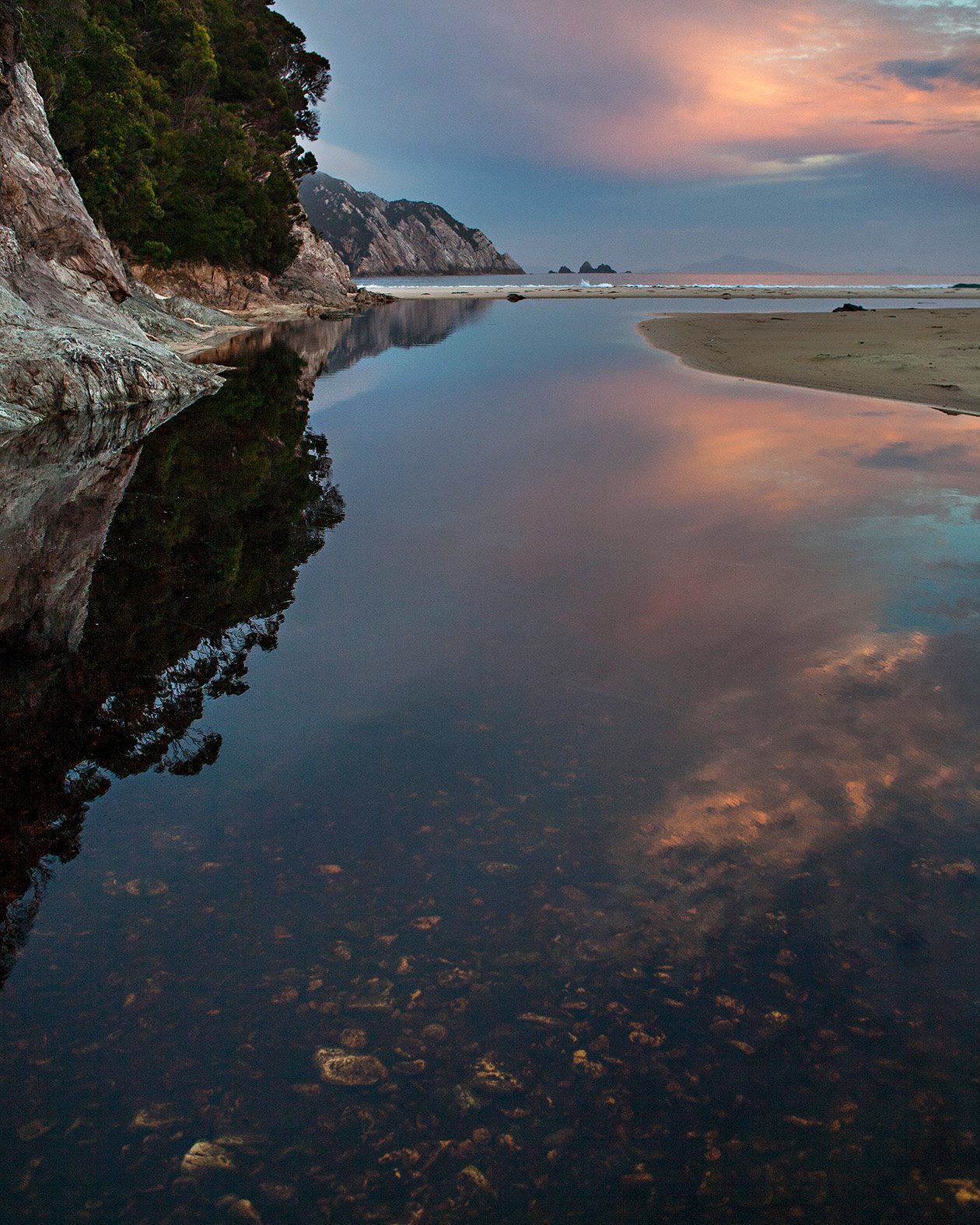
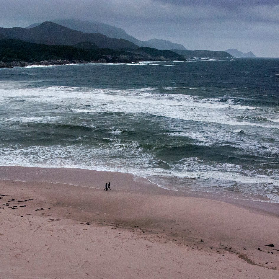
In comparison to the alpine areas of the South West, Richard considers the South Coast Track a relatively easy walk with more predictable weather, but it has all the elements of this remote and rugged landscape in one walk. It has button grass plains, beaches, river crossings, alpine peaks, scrub and a little bit of mud.
Richard has now walked the South Coast Track 48 times. He has published a book “From Cape to Cape – Tasmania’s South Coast Track” to document his knowledge of this walk and insights into what to pack, and planning your trip.
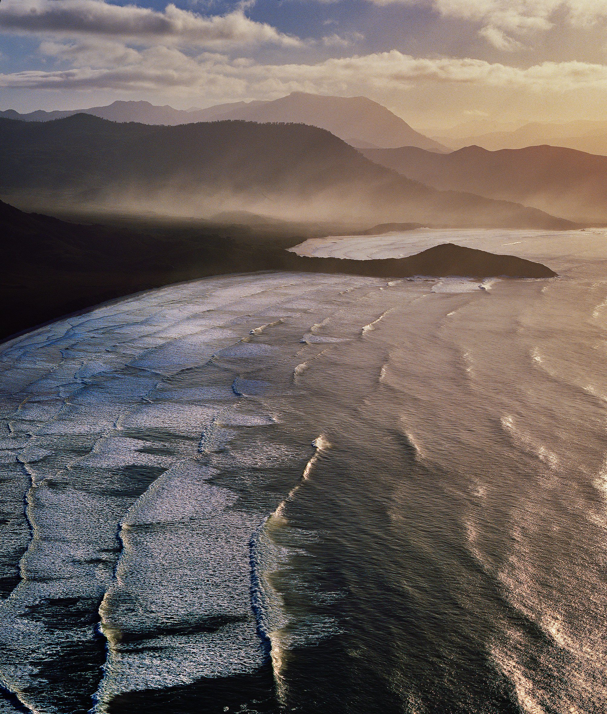
A lack of infrastructure differentiates this area from some of Tasmania’s other multi-day walks, and so does its weather. The weather is moderated by the sea, and temperatures are considerably higher compared to hikes in the state’s west. The only way to access the start of the South Coast Track is by aircraft or boat – there are no roads. That’s what makes this walk so spectacular and appealing to Richard. He can go for days or even an entire trip without seeing another soul, and its terrain is largely unspoilt by commercialisation.
“Most of the route is relatively flat, and the track is easy to follow. On some walks, water needs to be carried, but this is not generally the case along the South Coast Track because water is abundant from the many creeks and streams. There are plenty of campsites along the track, so it is easy to have long or short days as you wish.”

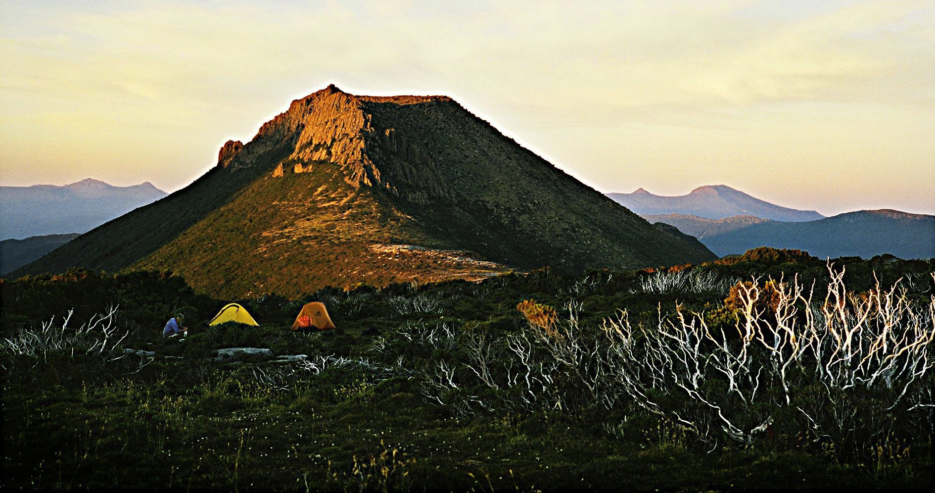
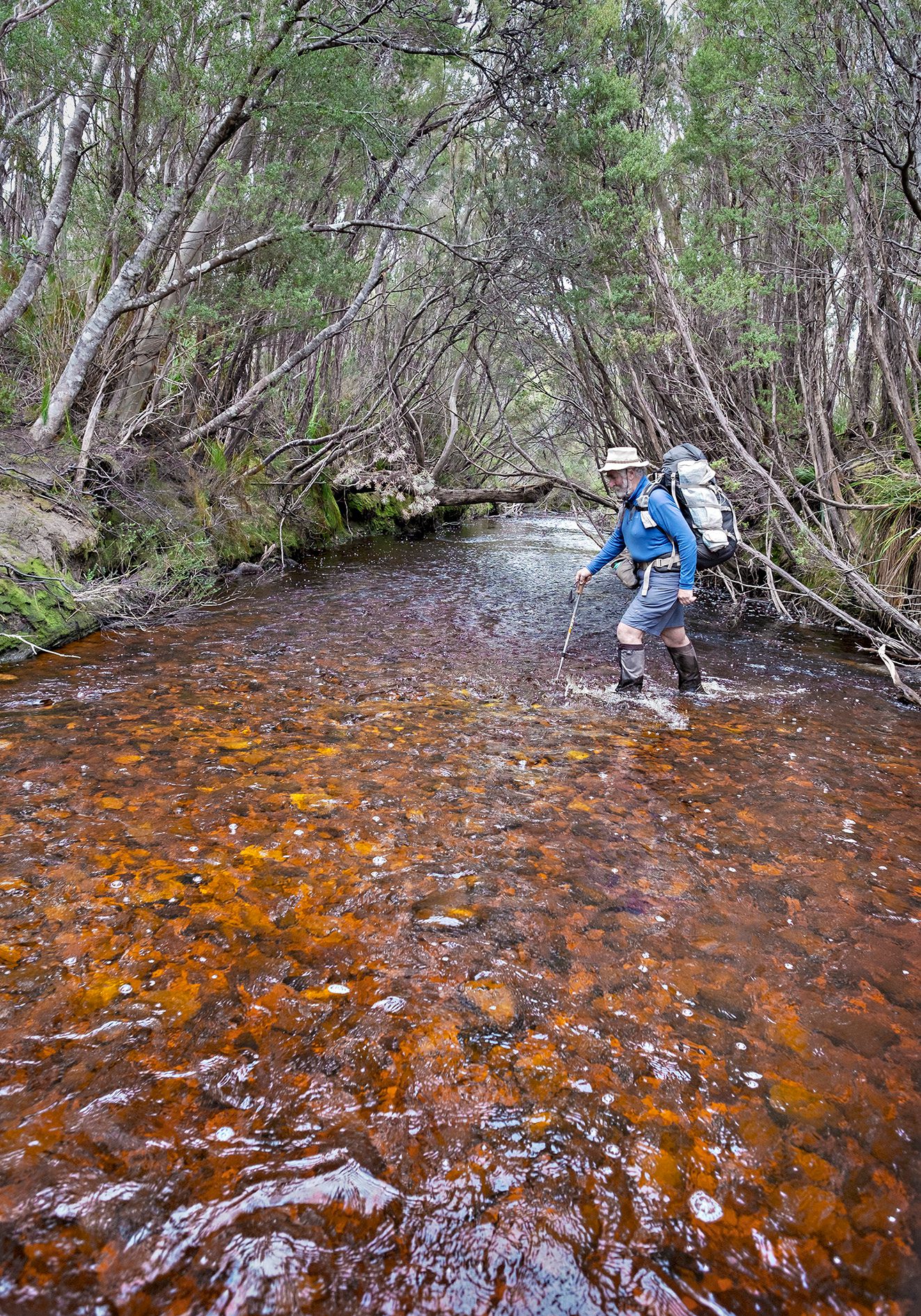
Richard says river crossings along the track are a “factor to be considered”. That’s his way of saying they might be somewhat challenging for the unseasoned walker. The route crosses several creeks and the Louisa River, where he says it’s sometimes necessary to wait for the water level to drop. Louisa River is one of Richard’s favourite campsites. He will sometimes spend the best part of a day here before the climb up the Iron Bound Range.
The Iron Bound Range is the highest peak on the South Coast track. At 1061 meters or 3481 feet, it is a significant climb. Especially when walking from sea level with 18 + kilos on your back. Richard says it seems to be getting bigger every year! Many walkers are caught thinking the hard part is the ascent, when in fact, it is walking down the Iron Bounds that really takes it out of you. It is also critical to manage your temperature with multiple layers because it is easy to get very cold very quickly when you stop on the top.
It doesn’t phase Richard if he walks the South Coast Track alone, with a small group, or with his family. He’ll often make his annual pilgrimage during October, allowing just enough time for the area to dry out.

“We have taken our children along the track from age 11 years. When they found the going a bit tough, I used to walk ahead and strategically place a few Freddo Frogs on the track ahead of them. It sped them up very effectively.”
When he’s in the bush, Richard loves being able to dedicate twenty-four hours every day to the simple pleasures of reconnecting with, and appreciating, the mysteries of nature.
“It reinforces my lifelong connection with the natural world. Wilderness amplifies all that we take for granted, hot running water, a dry chair to sit in, a soft bed and being able to observe the weather from inside a dry warm home. The wilderness makes me see my life in a different context; in fact, nothing has had more impact on my life.”

Header image credit: Claire Bennett